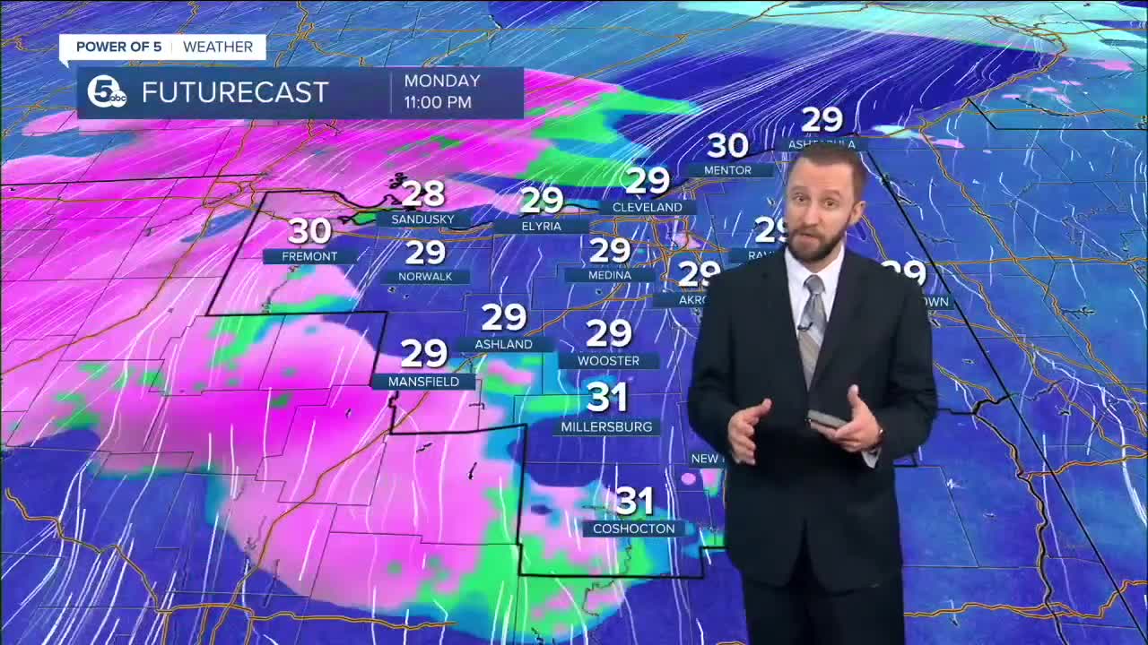
WINTER WEATHER ADVISORY for all of Northern Ohio tonight through noon on Tuesday for freezing rain. A light coating of ice is expected tonight through the Tuesday morning rush hour. Untreated surfaces could become slippery.
Warm air and rain showers are moving our way for this week. But a lingering layer of surface cold air could cause an icy morning commute for motorists on Tuesday. Freezing rain will arrive after midnight tonight across much of Northern Ohio. Ice accumulations of .1" to .2" are possible by noon on Tuesday. Sleet and some snow could also mix in through the early afternoon. Morning temperatures will range between 28 and 31 degrees across the area. Those temperatures should rise into the middle-upper 30s by mid to late afternoon, ending the threat of ice. Scattered rain showers are possible during the afternoon hours as well.
More scattered rain showers are expected Tuesday night and Wednesday. We could experience some ice jam flooding on local streams and rivers by the end of this week due to snow melt and river run-off. Highs on Wednesday will climb into the middle 40s.
More rain is likely on Thursday, with a high near 50 degrees. A few lingering showers are possible on Friday, with temperatures climbing back into the 40s.
What To Expect:
- Winter Weather Advisory Tonight/Tuesday
- Freezing rain possible tonight and Tuesday morning
- SLICK roads Tuesday AM
- 40s Wednesday -> Friday
- Rain and flooding possible
Daily Breakdown
Monday Night: Mostly cloudy. Freezing rain, sleet by sunrise.| Low: 30º
Tuesday: Even warmer. Wintry mix to rain.| High: 36º
Wednesday: Even warmer. More rain.| High: 45º
Thursday: Wet and mild.| High: 50º
Friday: Lingering showers.| High: 47º
Download the News 5 app for the latest weather updates:
Follow the News 5 Weather Team:
Mark Johnson: Facebook & Twitter
Trent Magill: Facebook & Twitter
Katie McGraw: Facebook & Twitter
Phil Sakal: Facebook & Twitter


