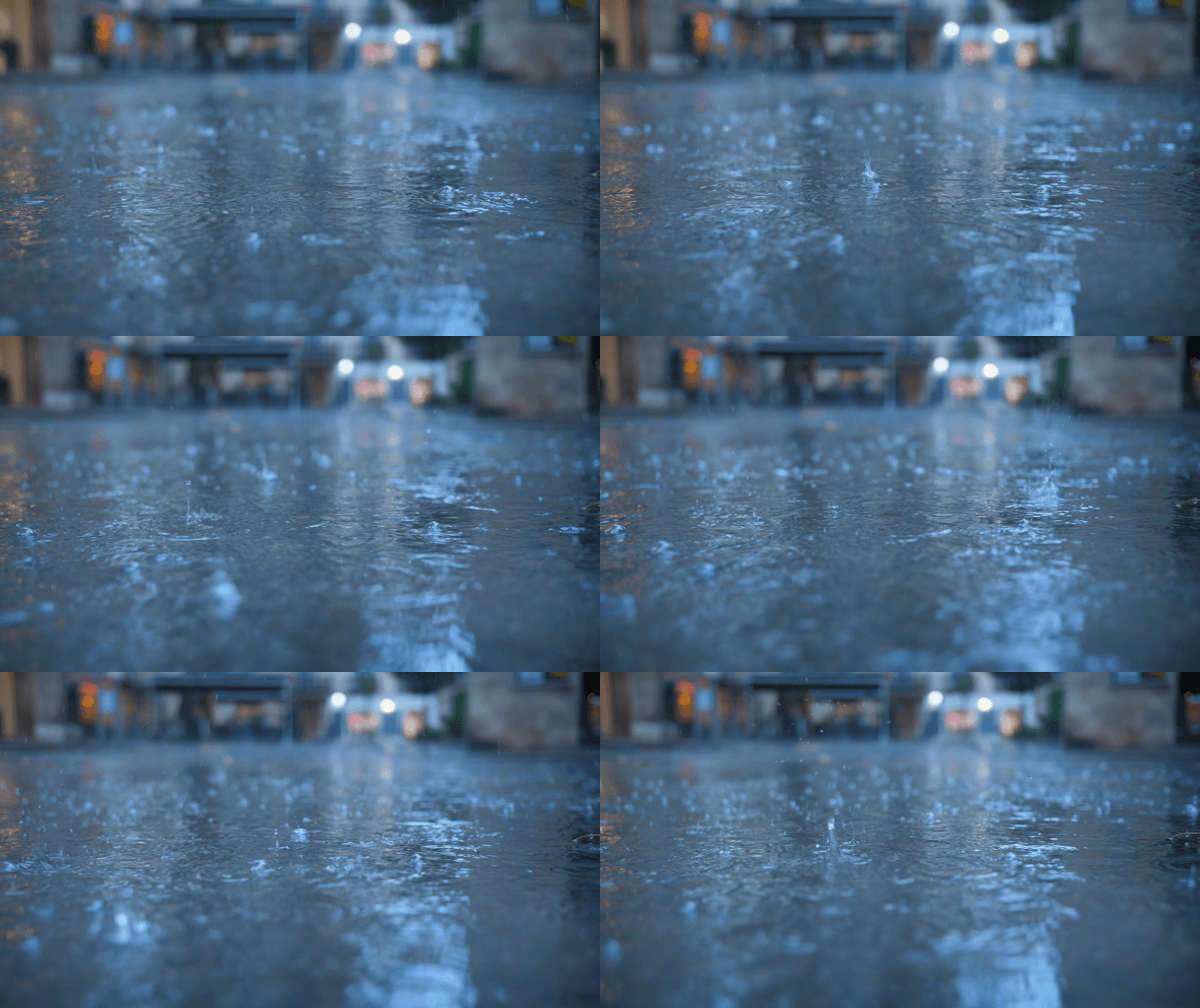
CLEVELAND — Our drought is holding strong but a pattern shift is right around the corner. Summer officially ends at the fall equinox on Sunday morning and that's also when we'll start to get in on some relief.
Mother Nature won't be flipping the switch fully, though. Big summer heat will hang on for a couple more weeks, but the rain chances are increasing... we need it.
We're near 80º Thursday, Friday & through the weekend with tons of sun. A rain shower or two will try to sneak in from the west Friday night into Saturday morning. But we are so dry, the chances are limited... most of us stay dry. Models are hinting at our next best shot at rain coming late Monday and into Tuesday of next week. We'll keep you updated as it gets closer to next week.
What To Expect:
- Bright & hot Thu & Fri
- Few t-storms Friday night
- Dry for the Browns Game
- Staying very warm
- Next real chance for showers holds off until early next week
Daily Breakdown:
Thursday: More sun & warmth.| High: 80º
Friday: Clouds roll in late leading to a few storms overnight. | High: 83º
Saturday: T-showers ending early with more sun & heat. | High: 84º
Sunday: Dry & warm. | High: 83º
Monday: PM rain is possible. | High: 82º
Tuesday: Best shot at rain we've had in weeks. | High: 78º
Download the News 5 app for the latest weather updates:
Follow the News 5 Weather Team:
Mark Johnson: Facebook & Twitter
Trent Magill: Facebook & Twitter
Katie McGraw: Facebook & Twitter
Phil Sakal: Facebook & Twitter


