CLEVELAND — An area of low pressure to our northwest will move eastward toward Ohio today and drag a cold front across the area tonight and into tomorrow. This low pressure will hang around early next week, keeping the chance for showers/storms in the forecast for Monday and Tuesday. Some of the storms on Sunday could become strong or severe. The best chance for severe storms is Sunday evening. Let's discuss the potential severity, timing and main threats below.

SEVERE POTENTIAL: The Storm Prediction Center has issued a risk for severe weather for all of The Power of 5 viewing areas. The greatest potential for severe weather is to the west of Cleveland. The communities in yellow are under a slight risk for severe weather, which is a level 2/5. A slight risk means organized severe storms are possible but with varying levels of intensity. The greatest severe threat is to our south and west, for example, Cincinnati and Dayton (the area in orange).
Storms could potentially weaken as they move east, which is why there is a lower risk (green) for those communities. That is a level 1/5 for the potential of severe storms that would be limited in organization and longevity or very low coverage.


THREATS: The warm front is going to cause our temperatures to soar this afternoon. It is also rather humid outside! Heat + humidity = increased instability. Greater instability can oftentimes lead to an increased threat of severe weather. NE Ohio also has decent wind shear (or wind energy). This means we must be weather aware this afternoon and evening and have your safety plan in place!
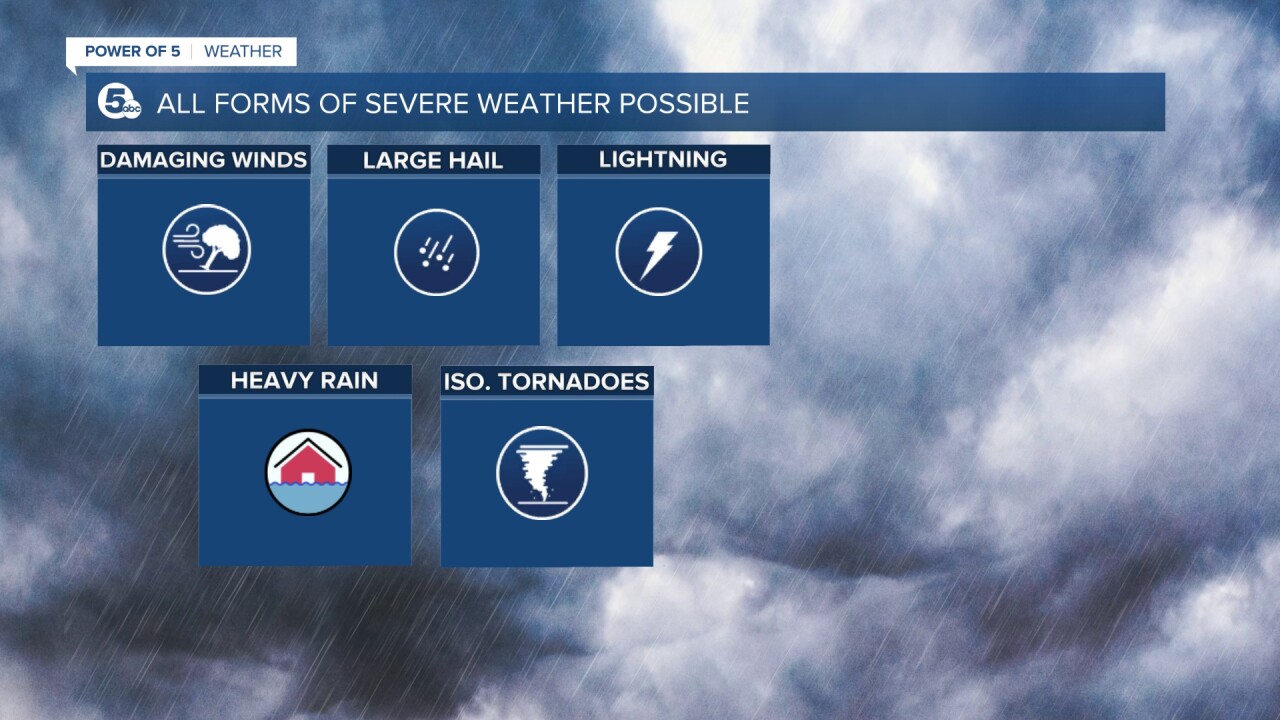
All forms of severe weather will be possible tonight. We will be watching for damaging winds up to 70 mph, large hail, heavy rain, and lightning. Additionally, tornadoes will be possible as well. It is likely a QLCS will develop to our west by the late afternoon and spread east. A QLCS is essentially a squall line that bows out (looks like an archer's bow) and can produce gusty straight-line winds, hail, and heavy rain. Frequently we will also see 'kinks' or 'notches' within the line and this is where tornadoes can quickly spin up. This is not rare for our region; most tornadoes we see in Northeast Ohio are from QLCS' and the tornadoes are typically brief.

TIMING:
Most of this afternoon will be dry, but we cannot rule out sporadic showers and storms from noon until 5 pm. Some of these storms could contain strong gusty winds, but the better chance for severe storms will be after 5 pm until midnight. Scroll through the images of Futurecast below as a gauge for coverage and timing of storms this afternoon and evening. Be sure to check back later today for more information. The Power of 5 Weather Team has your back!


Download the News 5 app for the latest weather updates:
Follow the News 5 Weather Team:
Mark Johnson: Facebook & Twitter
Trent Magill: Facebook & Twitter
Katie McGraw: Facebook & Twitter
Phil Sakal: Facebook & Twitter


