


CLEVELAND — After a foggy start to your Wednesday, much of the day will be dry, but storms may impact any plans you have this evening. A new storm system is headed our way from the west and will bring a renewed chance of heavy rain and storms.
SEVERE POTENTIAL:
The Storm Prediction Center has issued a severe weather risk for much of Northeast Ohio. The best chance for severe storms is in central Ohio, and it is less likely for areas closer to Lake Erie.
You can still expect thunder and heavy rain/flooding in Cleveland, Chardon, Ashtabula, Sandusky, but the better chance for severe weather is south of Akron, Medina, Oberlin and Norwalk.
The area in green is known as a marginal risk for severe weather and it is a level 1/5. It includes Akron, Canton, Lodi, Wooster, Mansfield, Tiffin and New Philly and isolated severe storms are possible in that area. The area in yellow is the 2/5 risk level and is known as a slight risk for severe weather and means that scattered severe storms are possible in that area. Again, this shows there is a better chance to experience severe weather to the south of Cleveland.
SEVERE OUTLOOK: There is a chance for a few strong storms and isolated severe storms today. The best chance is to the south in central Ohio. Gusty winds, heavy rain & flooding will be possible. Storms look to increase after 5 p.m. pic.twitter.com/EV80wX6k6E
— Katie McGraw (@KatieMcGrawx) June 8, 2022
MAIN THREATS:
Plan on heavy rain and flooding in some spots as storms move east at around the evening commute and into tonight. Damaging straight-line winds will also be possible. Most locations will receive 0.25 - 0.75 inches of rain, but locally higher amounts of 1 inch or more is also possible with this system. The tornado threat is low, but never zero. There is a better chance for tornadoes and hail south of Canton and Mansfield. However, the best opportunity is to the south of the News 5 viewing area.
Best shot at severe (damaging) weather is south but we all have a shot. Plan on heavy rain and flooding in spots in addition to damaging straightline winds. Timing puts that line here toward the end of the PM Drive toward sunset. pic.twitter.com/dvnqAL3GwZ
— Trent Magill (@TrentMWeather) June 8, 2022
Projected rainfall totals:

Damaging Wind Potential:

Tornado Potential:

TIMING:
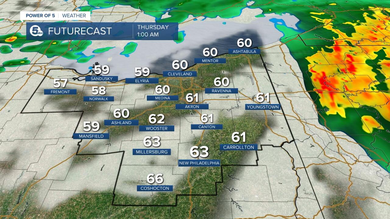
Storms will increase in coverage around the evening drive (5-7 p.m.) and become widespread for a few hours. The Guardians game against the Rangers, scheduled to start at 7:10 p.m. may be impacted. The best chance for any severe weather looks to be from 5 -11 pm Wednesday evening. The severe threat drops overnight and into Thursday morning with only a few showers left over. Scroll through the images of Futurecast to get an idea about timing and coverage for today's storms. Be sure to tune in to News 5 this evening with Chief Meteorologist Mark Johnson for the latest radar & storm updates.


Want the latest Power of 5 weather team updates wherever you go? Download the News 5 App free now: Apple|Android
Download the StormShield app for weather alerts on your iOS and Android device: Apple|Android
Click here to view our interactive radar.
Read and watch the latest Power of 5 forecast here.
Follow the News 5 Weather Team:
Mark Johnson: Facebook & Twitter
Remeisha Shade: Facebook & Twitter
