Happy March!! After a one-day delay, March began on Friday and was the start of meteorological spring. March and the spring season are transitional periods in the year with huge temperature swings, stormy weather, or even snow - sometimes all in one week! Astronomical spring starts on Tuesday, March 19, shortly after 11 p.m.
Astronomical seasons are based on the position of the Earth in relation to the sun. Meteorological seasons are based on average annual temperatures.
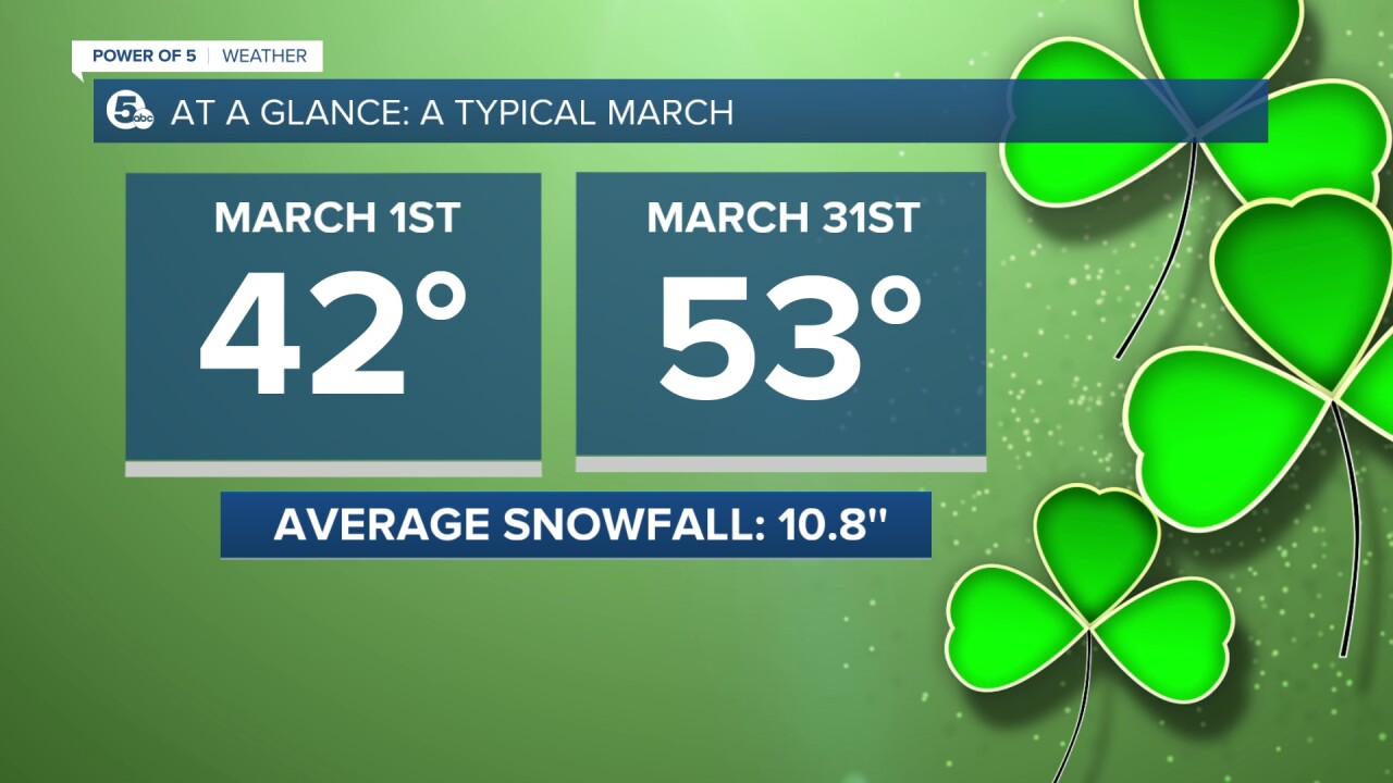
Early in March, the average high temperature is in the low 40s. By the end of the month, the average jumps about 10 degrees. That means the coldest and snowiest part of the year is over.

Speaking of snow....where has it been? It's been another lackluster winter/snow season. Since the first batch of snow on Halloween night, Cleveland (based on data from Cleveland Hopkins International Airport) has only picked up 20 inches of snow. On average, Cleveland should have around 50 inches of snow at this point of the year.
The graphic below shows two graphs. The bar graph shows the average snowfall for October through April in Cleveland. The line graph shows what has fallen since October. October picked up 1.5 inches (above normal snowfall), November picked up 3.1 inches (below normal snowfall), December picked up 2.2 inches (below normal snowfall), January picked up 9.7 inches (below normal snowfall) and February picked up 3.5 inches (below normal snowfall).

Of course, winter is not officially over yet. Plus, snowfall in March, April and May is common across our area. In Cleveland, March usually sees 10.3 inches of snow and 2.7 inches of snow in April. However, the temperature trend over the next few days (and potentially weeks) is not conducive for snow. As previously mentioned, the average high temperature for early March is 42 degrees. That means even 43 degrees is above average, but the temperatures will be WAY above average over the next week, in particular over the next few days. 40s for Saturday, 60s for Sunday and 70s for Monday! That is 30 degrees above what is typical for early March.

There is also a trend of warmer-than-normal temperatures continuing into mid-March (at least). Below is the Climate Prediction Center's 8-14-day outlook. It shows the continued signal for above-average temperatures through March 15 (at least). Some long-range models keep the warmer than average temps throughout the end of the month.

Want the latest Power of 5 weather team updates wherever you go? Download the News 5 App free now: Apple|Android
Download the StormShield app for weather alerts on your iOS and Android device: Apple|Android
Click here to view our interactive radar.
Read and watch the latest Power of 5 forecast here.
Follow the News 5 Weather Team:
Mark Johnson: Facebook & Twitter
Trent Magill: Facebook & Twitter


