CLEVELAND — It looks like we'll be ringing in 2022 with rain, followed by dropping temperatures and the possibility of inches of snow by Monday.
SET UP:
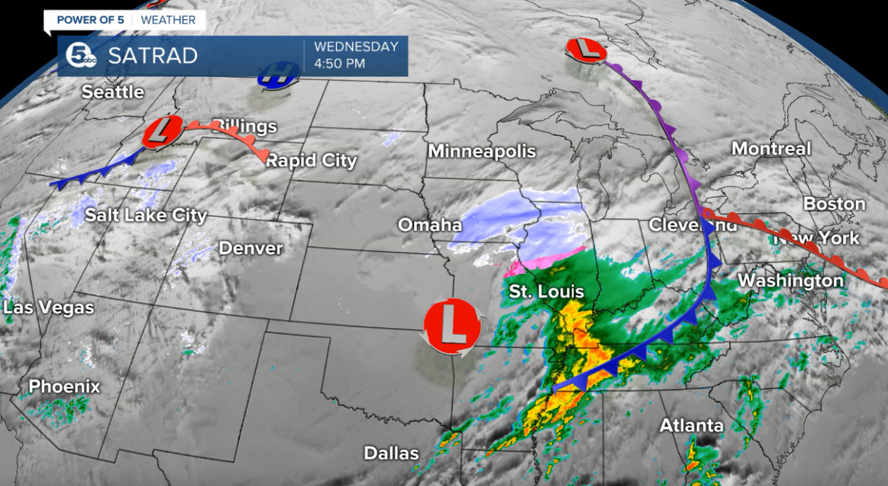
Weak low pressure will move across the area tomorrow night and lift a warm front through Northeast Ohio by New Year's Eve. This warm front will increase our temperatures for a brief period of time. A strong cold front will move south across the region on New Year's Day and cause temperatures to fall. This system will also keep wet weather in the forecast for the holiday.
TEMPS:
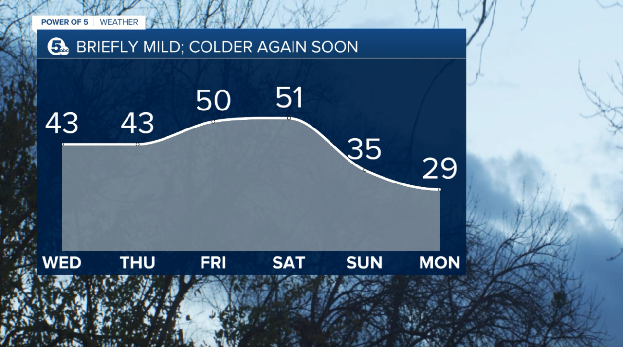
It will be seasonable on Thursday but temperatures will climb by Friday and early on Saturday. Expect temperatures in the 50s for a brief period of time. Temperatures will fall by Saturday night and into Sunday. High temperatures will struggle in the 20s early next week.
TIMING:
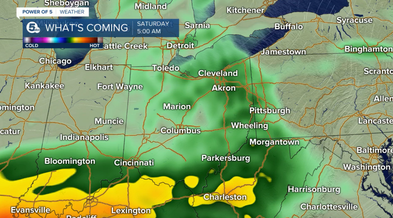
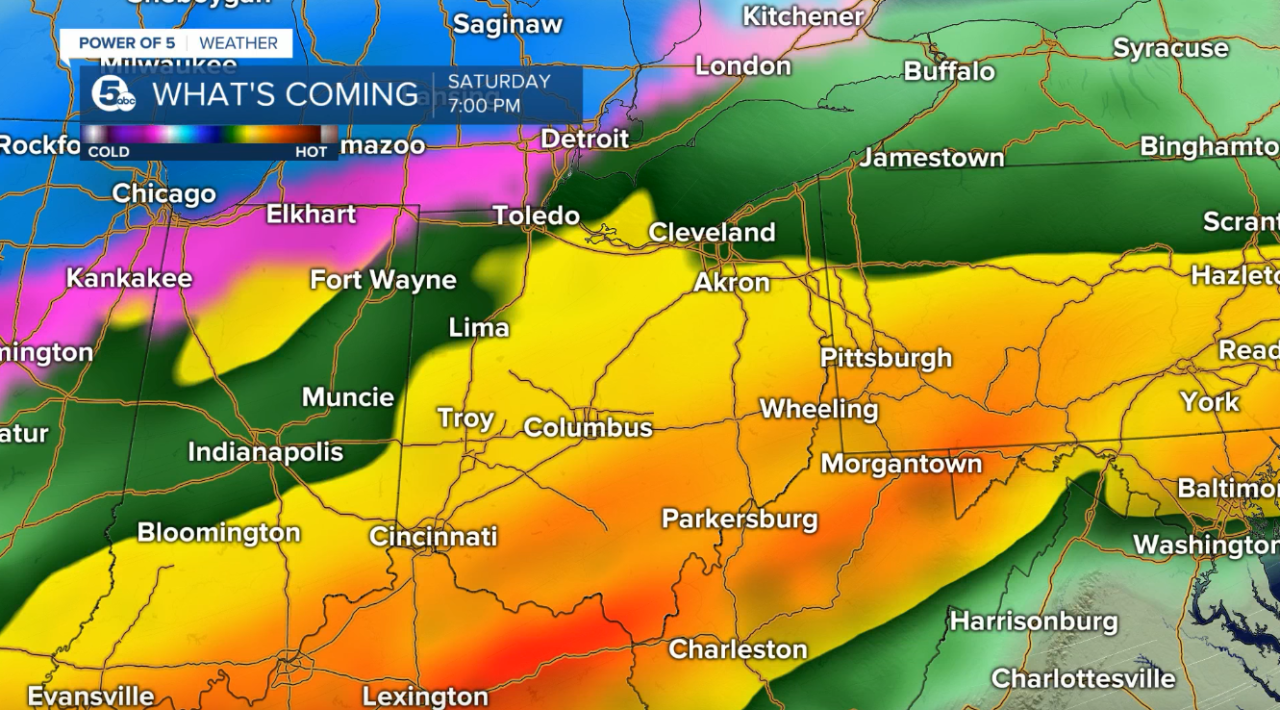
A few showers will be possible on Thursday and early Friday. However, the best chance for rain will occur on the first day of the new year. Rain chances will be increasing throughout the morning on Saturday. At this time, rain looks to be widespread by Saturday afternoon. It will be a soggy start to 2022! The axis of heaviest rainfall appears to be to our south (near the Ohio River), but we will likely receive 0.25-0.75'' of rain.
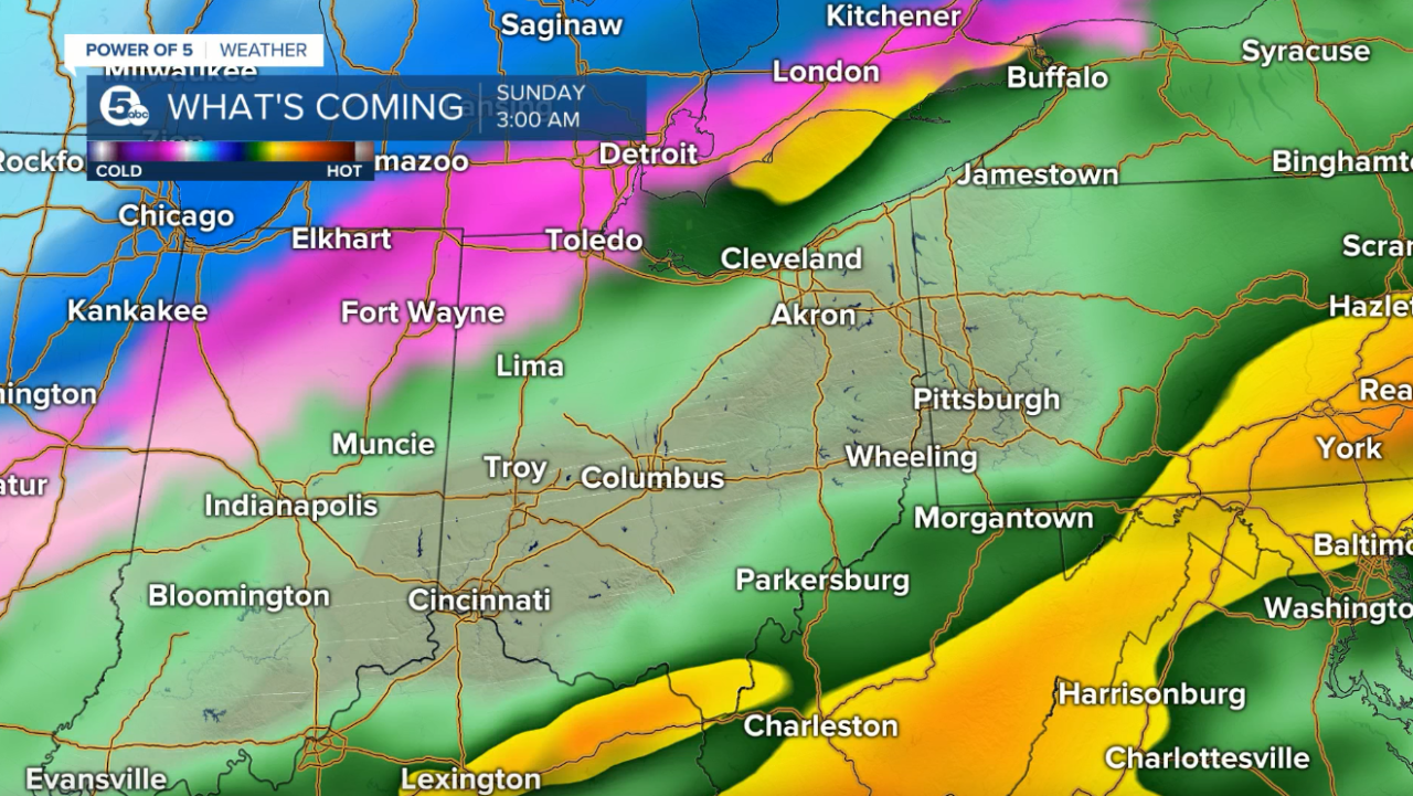
As the cold front rolls through, temperatures will fall. This will cause a transition from rain to snow showers by Sunday. It is still a few days out, but a few inches of snow looks likely by Monday morning. Scroll through the images of Futurecast to get an idea about precipitation timing and coverage.
We will be updating the forecast and ironing out details as the system gets closer to NE Ohio. Be sure to check back with the Power of 5 Weather team for the latest information!
