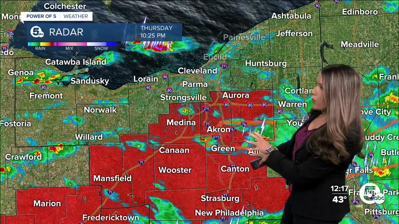
The National Weather Service is surveying damage across Ohio today following severe weather on Thursday. Six tornadoes had already been confirmed Friday.
1. Crawford/Richland County Tornado: The tornado started near New Washington in Crawford County at 7:54 p.m. The tornado ended at 8:13 p.m. near Plymouth in Richland County. The tornado had estimated wind speeds of 120 mph and was on the ground for over 10 miles.
- Rating: EF-2
- Estimated Peak Wind: 120 mph
- Path Length /statute/: 10.34 miles
- Path Width /maximum/: 250 yards
- Fatalities: 0
- Injuries: 0
The tornado began along Marsh Road just northeast of New Washington in Crawford County. The tornado caused damage to trees and homes as it moved eastward across Auburn Township. The tornado increased in intensity as it tracked eastward along Kenestrick Road, damaging multiple residences and outbuildings. The tornado destroyed a single-wide manufactured home and an outbuilding before moving east into Richland County. The tornado tracked east-southeast along West and Opdyke roads, crossing State Route 98, State Route 61, and State Route 191 before ending near Willet Road between Opdyke and Richards roads. The tornado caused extensive damage to homes, outbuildings, trees, and power poles along the path.


2. Logan County Tornado: A high-end EF-2 (at least) tornado was confirmed near Orchard Island/Indian Lake in Logan County. The National Weather Service office in Wilmington confirmed at least a high-end EF-2 touched down near Orchard Island. Survey teams also confirmed an EF-3 tornado touched down near Lakeview. This is the same tornado that was responsible for the damage in the Orchard Island area.
Additional information will be made available once the survey teams have reviewed the scope of the damage. The survey is in relation to the severe thunderstorms that moved through the area on March 14, 2024. A final assessment, including the results of the survey, is expected to be completed within a few days.

3. Hancock County Tornado: An EF-1 tornado with maximum estimated winds of 105 MPH developed in Orange Township near Mount Cory in southwestern Hancock County at 7:30 p.m. Thursday. This was close to the intersection of Township Road 29 and Township Road 56. The tornado was on the ground for six minutes as it tracked 3.3 miles towards the east, lifting in Van Buren Township near Jenera (near Township Road 60, south of Township Road 32). The tornado damaged five homes and damaged or destroyed several farm buildings. The maximum width was about 100 yards.
- Rating: EF-1
- Estimated Peak Wind: 105 mph
- Path Length /statute/: 3.35 miles
- Path Width /maximum/: 100 yards
- Fatalities: 0
- Injuries: 0

4. Mercer County Tornado: . The National Weather Service in Wilmington confirmed an EF-1 tornado occurred in far western Mercer County, west of Celina, Thursday afternoon. The survey remains ongoing at this time, with additional details still to come. Additional information, including tornado-estimated maximum wind speeds and track data, will be made available later this evening. A final assessment, including the results of the survey, is expected to be completed later this evening or tomorrow.
5 and 6. Mercer and Auglaize Counties Tornadoes: The National Weather Service in Wilmington confirmed a second EF-1 tornado occurred in Mercer and Auglaize counties in Ohio on March 14. This tornado is believed to have started near Celina and ended north of Moulton. Additional information, including tornado-estimated maximum wind speeds and track data, will be made available later this evening. A final assessment, including the results of the survey, is expected to be completed and transmitted at a later date
Other Ohio tornadoes
The National Weather Service in Wilmington confirmed an EF-1 tornado that began in central Delaware County, continuing through north-central Licking County, OH, an EF-2 in central Union County near Broadway, as well as an EF-2 in Darke Miami counties; this tornado began in Indiana.
More information will provided in the days and weeks to come. This count may change as the NWS continues to assess the continuity of the damage.
What's the strongest tornado?
EF Scale: The Enhanced Fujita Scale classifies tornadoes into the following categories:
- EF-0.....65 to 85 mph
- EF-1.....86 to 110 mph
- EF-2.....111 to 135 mph
- EF-3.....136 to 165 mph
- EF-4.....166 to 200 mph
- EF-5.....>200 mph
RELATED: Strong storms leave trail of destruction across Ohio
Want the latest Power of 5 weather team updates wherever you go? Download the News 5 App free now: Apple|Android
Download the StormShield app for weather alerts on your iOS and Android device: Apple|Android
Click here to view our interactive radar.
Read and watch the latest Power of 5 forecast here.
Follow the News 5 Weather Team:
Mark Johnson: Facebook & Twitter
Trent Magill: Facebook & Twitter


