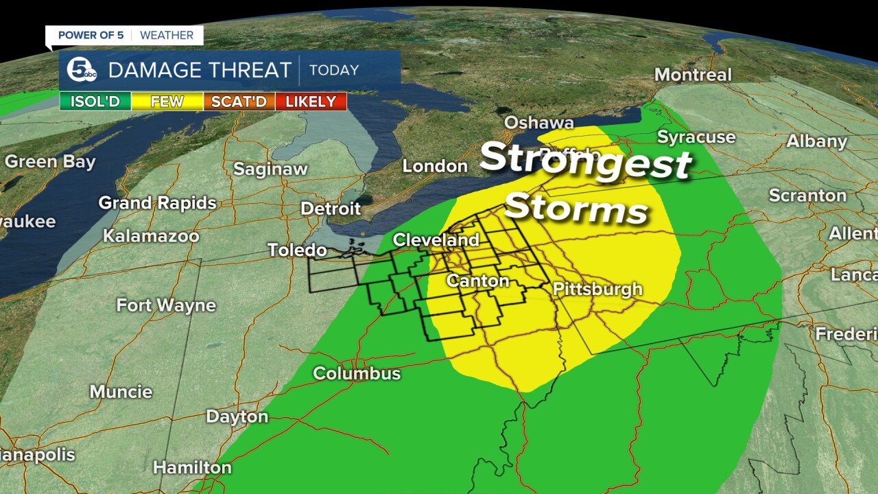
CLEVELAND — After our morning showers taper off, we're shifting our focus to strong afternoon thunderstorms. Plan on the first storms to start building right around noon. The Power of 5 Weather Team will watch storms building through the afternoon before fading away closer to sunset.
Power of 5 meteorologist Trent Magill gives an update on what to expect this afternoon. Watch it in the video player below:
All of these storms will have heavy rain, making flash flooding the main concern. We can't forget about wind, though. The strongest storms will likely produce damaging wind gusts.

The farther east you are, the better shot you have at severe thunderstorms.
Storms fade this evening and should stay very limited until Sunday. That means the heat will dominate again. Keep doing what we're doing to get through this heat.
We're not looking at any relief from this heat and humidity until the end of next week.
Click here to view our interactive radar.
Read and watch the latest Power of 5 forecast here.
Download the News 5 app for more weather information from the Power of 5 weather team: Apple|Android
Download the StormShield app for weather alerts on your iOS and Android device: Apple|Android
Follow the News 5 Weather Team:
Mark Johnson: Facebook & Twitter
Bryan Shaw: Facebook & Twitter


