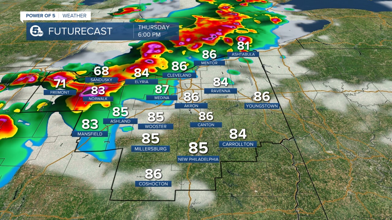
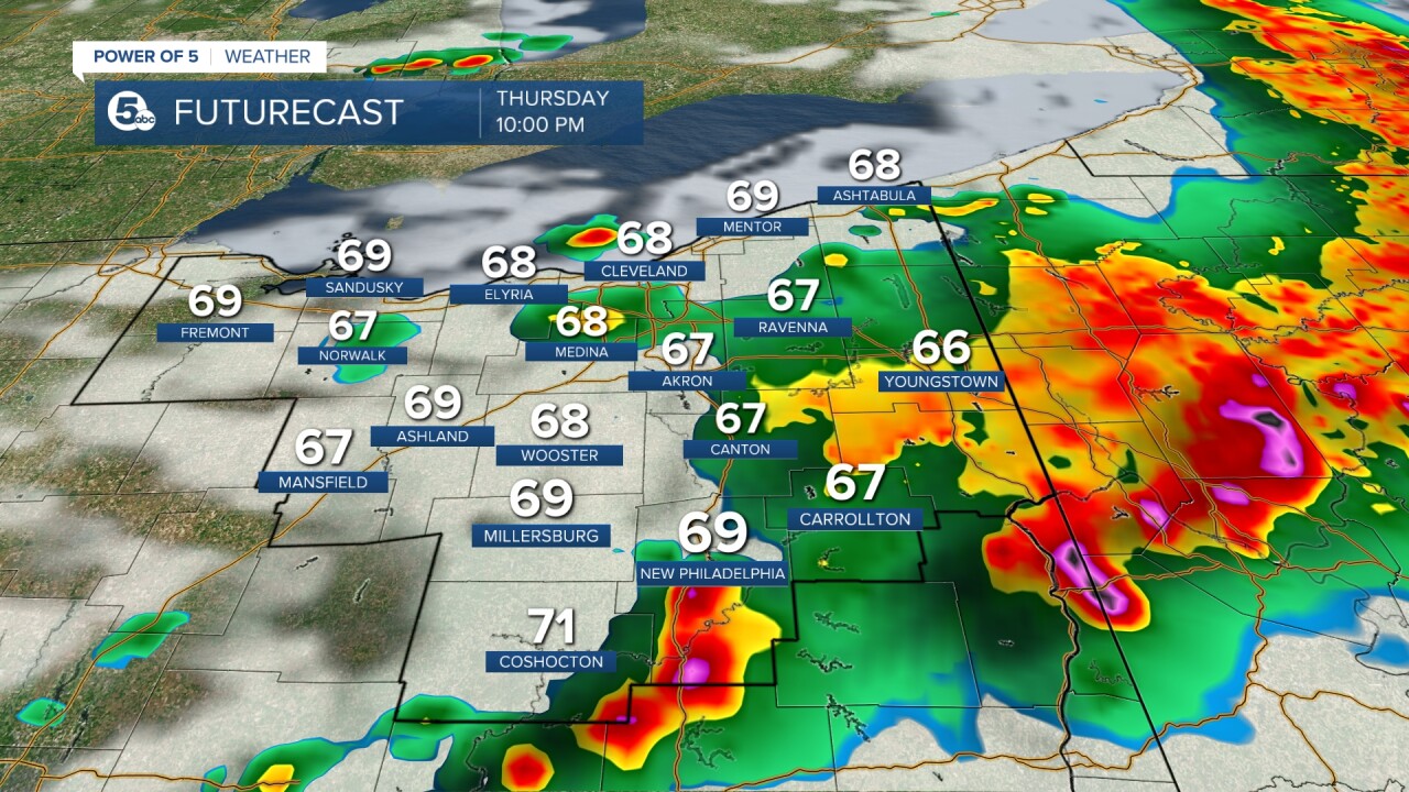
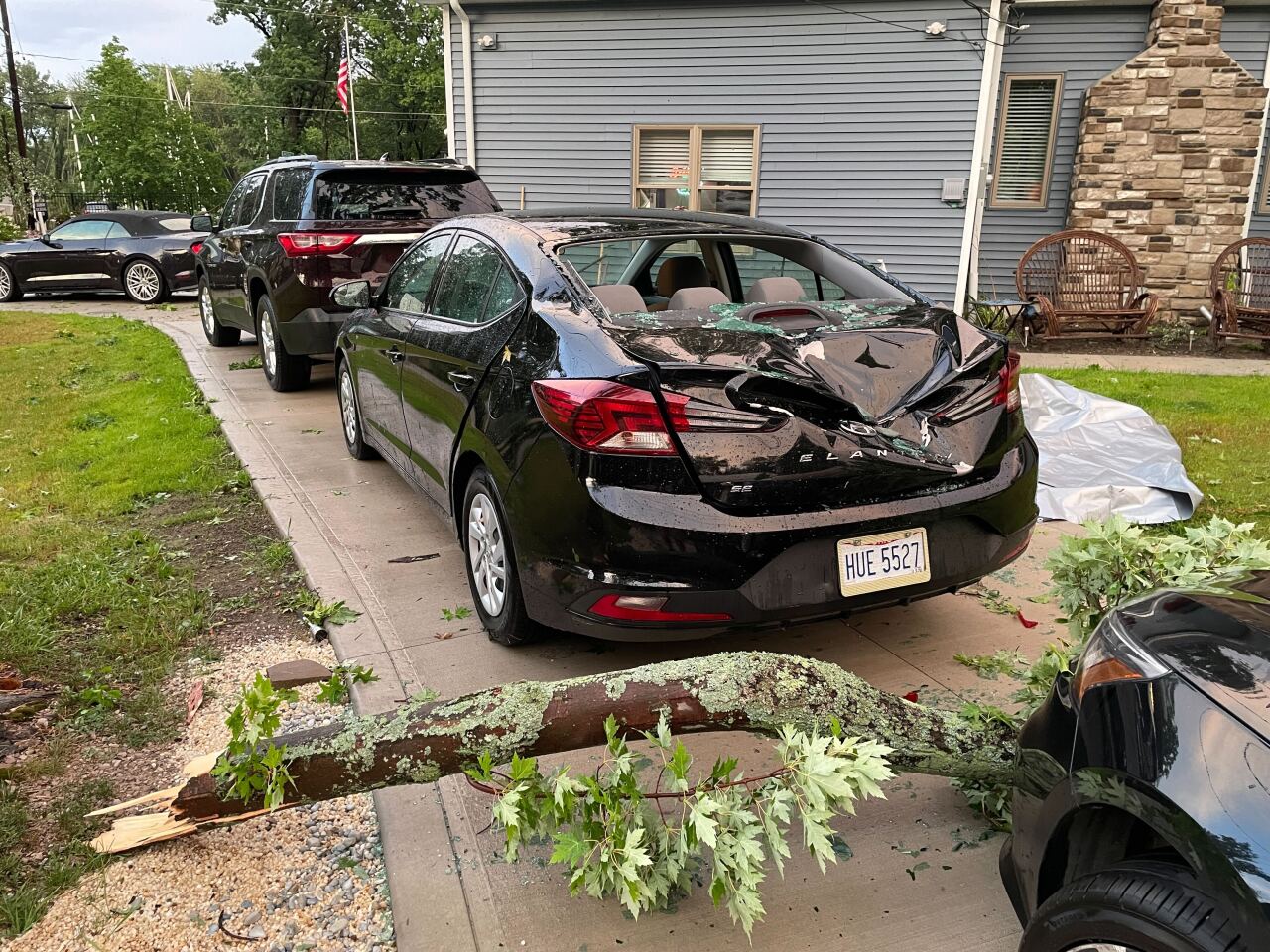
Multiple counties in Northeast Ohio experienced severe storms throughout Thursday evening, causing damage to cars and buildings.
These counties were issued Severe Thunderstorm Warnings by the National Weather Service and included Lorain, Lake, Erie, Cuyahoga, Geauga, Ashtabula and Huron, Columbiana, Tuscarawas and Carroll Counties.
Medina, Stark and Wayne Counties were issued a Tornado warning which ended between 8:45 and 9:15 p.m.
The warnings began around 6 p.m. and persisted until 10:15 p.m.
Most warnings were canceled around 9 p.m.
POWER OUTAGES
FirstEnergy has reported power outages in the following counties as of 10:25 p.m.:
Medina County - 853
Lake County - 5,475
Ashtabula County - 1,687
Cuyahoga County - 31,586
Geauga County - 1,843
Lorain County - 579
Ottawa County - 463
Portage County - 282
Summit County - 5,005
Trumbull County - 538
Stark County - 1,646
Columbiana County - 141
IMPACTS
The severe storms across Northeast Ohio caused damages to numerous areas.
Trees fell in areas such as Westlake and Mentor.
Additionally, cars were reported to be stranded in flash floods.

PHOTOS AND VIDEO

I just received video of the collapse of Empire Plow in the Saint Hyacinth neighborhood.
— Ed (Brodie) McDonald (@Brodie76) July 20, 2023
It was recently purchased by an owner that's in the process of demoing it.
If you watch the video a car narrowly avoided the building falling on top of it. pic.twitter.com/C5R6aSemZP




RELATED: Richland County Emergency Management Agency warns of severe weather Thursday
Want the latest Power of 5 weather team updates wherever you go? Download the News 5 App free now: Apple|Android
Download the StormShield app for weather alerts on your iOS and Android device: Apple|Android
Click here to view our interactive radar.
Read and watch the latest Power of 5 forecast here.
Follow the News 5 Weather Team:
Mark Johnson: Facebook & Twitter
Trent Magill: Facebook & Twitter
Katie McGraw: Facebook & Twitter
Phil Sakal: Facebook & Twitter


